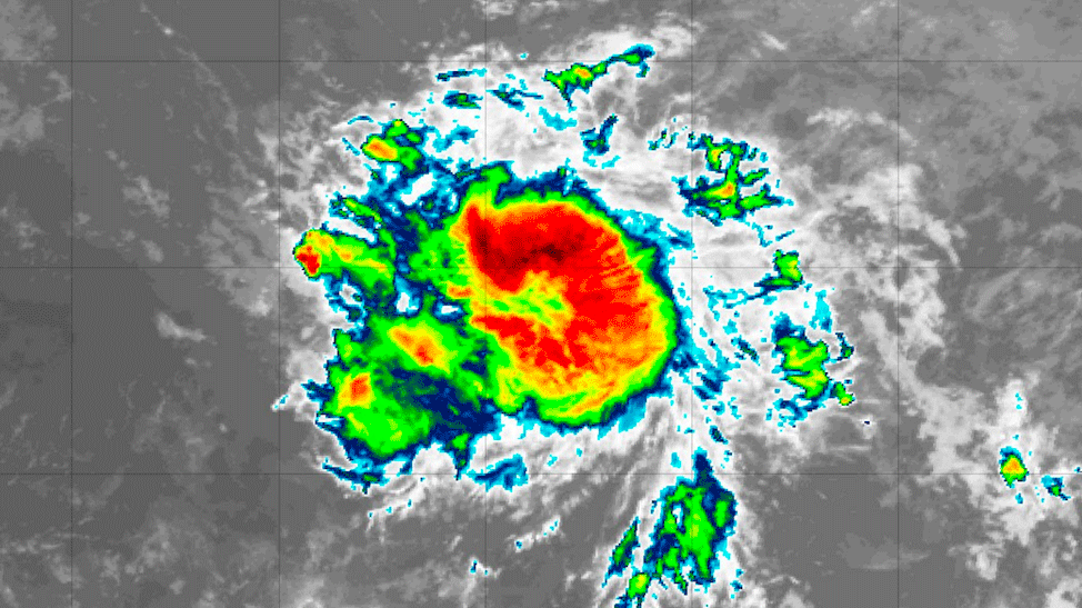
A Hurricane Watch has been issued for Barbados, effective 11 p.m. Wednesday night.
A Hurricane Watch means that hurricane conditions are possible within the watch area, generally within 48 hours.
At 11 p.m., Tropical Storm Gonzalo was located near:
- Latitude 9.9N, Longitude 45.9W or about 945 miles or 1522 km east of Barbados.
- Maximum sustained winds…60 MPH…95 KM/H
- Present Movement…W or 270 degrees AT 12 MPH…19 KM/H
- Minimum central pressure…998 MB…29.47 inches
Earliest time arrival of winds:
Sustained storm force winds are expected to spread across Barbados early Saturday, increasing to hurricane force by Saturday afternoon. During which time, sustained 50 to 75 mph (80 to 120 km/h) with higher gusts are expected to affect the island.
The intensity forecast remains very problematic and of low confidence. On one side, the cyclone structure, light shear environment, and warm sea surface temperatures suggest strengthening, possibly even rapidly, should occur.
On the other side, an ensemble of numerical models continue to forecast the system to weaken to an open wave after it passes the island, possibly due to dry air entrainment and large-scale subsidence.
Expect some delays to transport routes and travels services on lead up to the arrival of Tropical Storm Gonzalo. Additionally, during the passage of Tropical Storm Gonzalo expect tumbling and rolling of unsecured objects (e.g. inflatable structures, tents and garbage cans). Some injury and danger to life is possible from flying debris.
Tropical Storm Gonzalo is also expected to generate rough to very rough sea swells and flash-flooding. Advisories for these hazards will be issued in the coming days.


