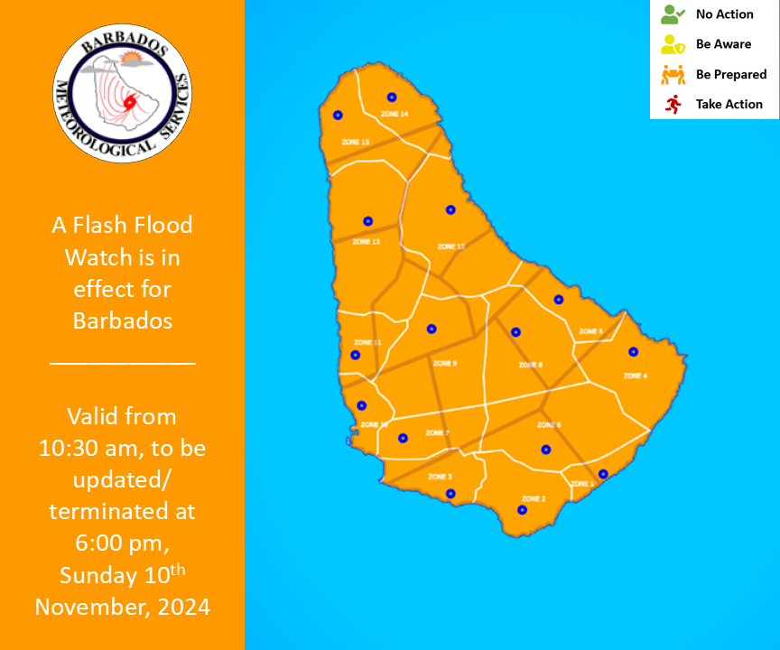
The Barbados Meteorological Services (BMS) is advising residents that flooding is possible across the island as a deep-layered trough passes.
Surface to mid level troughing is affecting the island while an upper-level diffluent pattern enhances the associated convection, the BMS said in a Sunday advisory.
“As a result, alongside cloudy skies and the possibility of thunderstorms, rainfall accumulations of one to two inches, in moderate to heavy showers, are likely,” it reads.
Possible Impacts
Possible moderate to significant:
- Runoff from higher elevations.
- Soil erosion on exposed or scarred land surfaces.
- Water settlements on roads and fields at the foot of hills and coastal roads.
- Adjustments to water levels of existing water bodies (ponds etc.).
- Objects or debris from higher elevations becoming embedded within fast moving water flows.
- Delays on traffic routes with some roads becoming impassable .
What you should do: The public is encouraged to monitor the BMS, DEM and GIS websites and their respective social media pages along with the local media networks for further updates. Residents and visitors should also be aware that this alert level could elevate to red.
A flash flood watch is issued when heavy or excessive rainfall in a short period of time (generally less than six hours) could result in flash flooding within the watch area. It does not mean that flooding will occur, but it is possible.
This flash flood watch was issued at 10:30 a.m. and will be updated/terminated at 6 p.m. or sooner if conditions warrant. (BMS)


